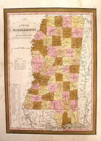
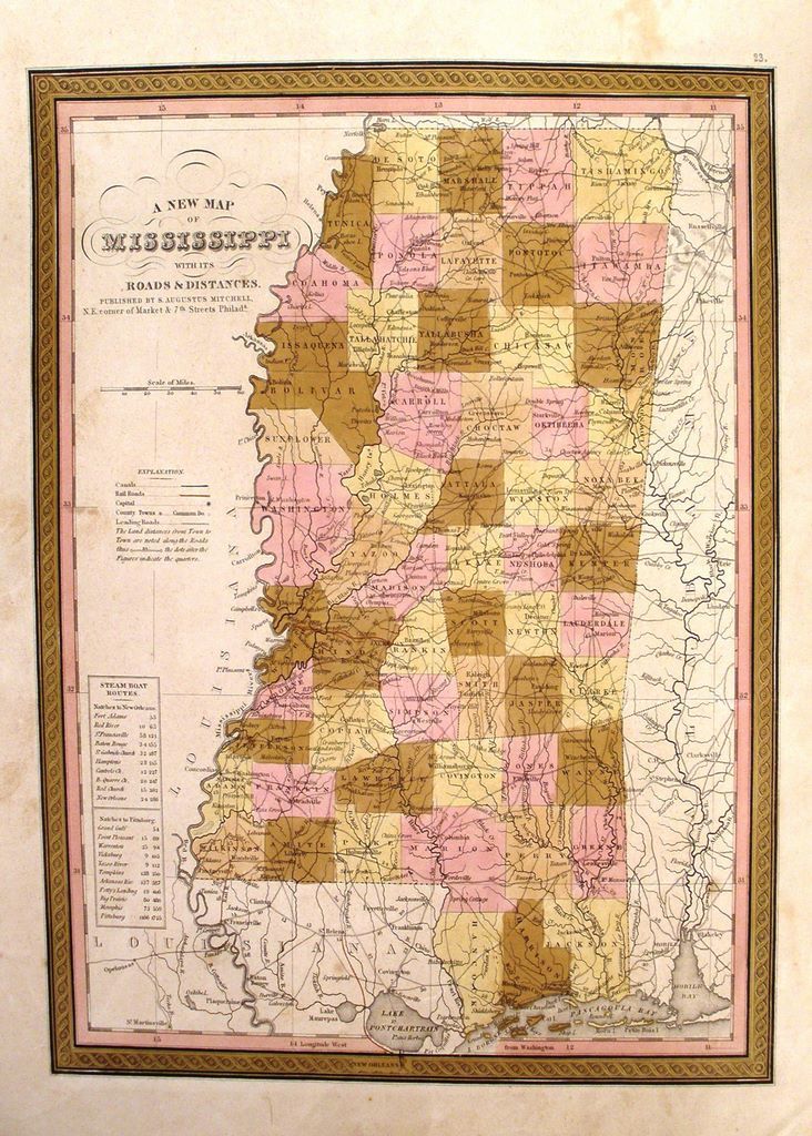
400 New Map of Mississippi
New Map of Mississippi, Maker: Samuel Augustus Mitchell, 1847, Philadelphia, 14" x 11.5". Condition: Very Good+. Detailed and interesting map, hand colored by county and showing towns, rivers, bays, lakes, railroads, roads, distances, etc. Tables of Steam Boat routes and distances. Mitchell's pre-1850 maps are becoming increasingly rare and difficult to obtain.